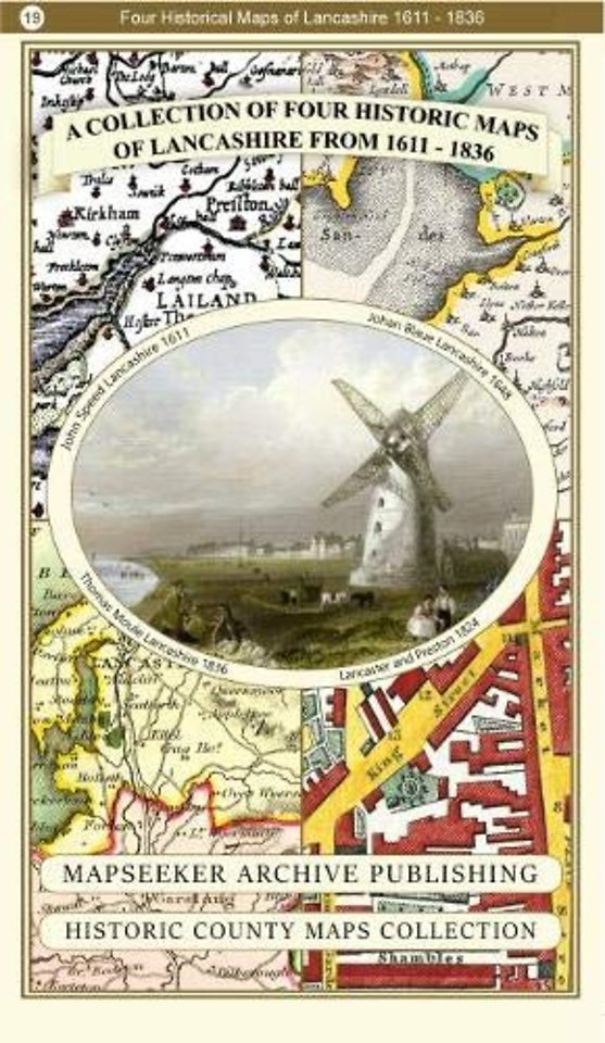
A Lancashire 1611 - 1836 - Fold Up Map that features a collection of Four Historic Maps, John Speed's County Map 1611, Johan Blaeu's County Map of 1648, Thomas Moules County Map of 1836 and a Plan of Lancaster and Preston from 1824. The maps also feature
Specificaties
Paperback, 1 blz.
|
EN
Historical Images Ltd |
2018
ISBN13: 9781844918478
Rubricering
Onderdeel van serie
Historic English Counties Collection
Levertijd ongeveer 8 werkdagen
Gratis verzonden